")
")

Zambezi National Park
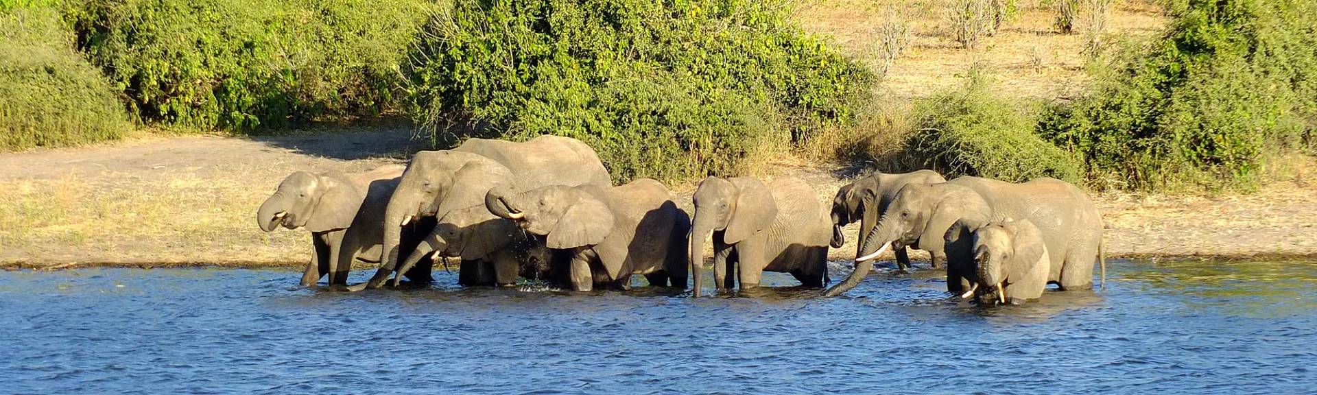
The Zambezi National Park is located adjacent and upstream from the Victoria Falls National Park, covering 573km² alongside the Zambezi River. The small but scenic national park is home to the “Big 5” and many other African wild animals.
Map of the Zambezi National Park
History of the Zambezi National Park
During British colonial rule the upper and lower Zambezi River, immediately adjacent to the Victoria Falls and on both sides of the Zambezi River were placed under conservation. After Zambian independence, the part of the park adjacent to the northern shore of the Zambezi became the Mosi-oa-Tunya National Park. In 1979, the conservation area on the Zimbabwean side became the Zambezi National Park and the smaller Victoria Falls National Park which is home to the Victoria Falls.
Wildlife and nature of the Zambezi National Park
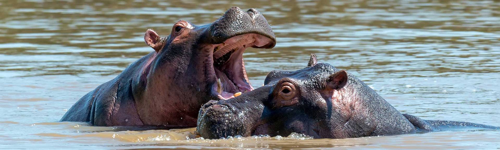
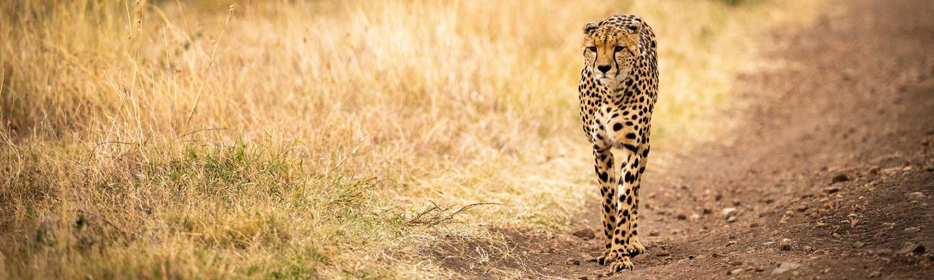
Most of the Park lies within the Zambezian and Mopane Woodlands and is home to the "Big Five" (Elephant, Buffalo, Rhino, Lion, Leopard), but also other larger mammals like hippos, sable, eland, zebra giraffe waterbuck and impala. Over 400 species of birds were recorded within the park.
The small, but scenic park is a great destination for guided or self-drive day trips from Victoria Falls. The easiest way to access the park is by following the Mosi-oa-Tunya Drive from Victoria Falls. An extensive network of roads along the banks of the Zambezi River as well as the wilder southern part of the park can be followed. Several lodges in the area do also offer boat trips on the Zambezi River, within the borders of the national park.